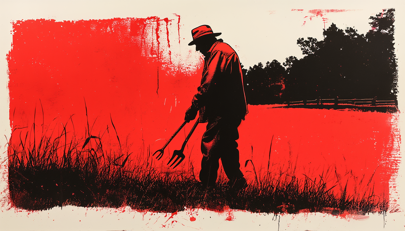
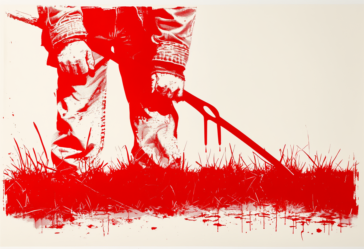
Dale Cauble was walking a fescue pasture outside Lenoir, North Carolina, in the second dry August in a row, holding a Y of peach wood by its two prongs. The tines dropped over a patch of ground about eight paces off the fence line where the grass had held its color a little longer than the rest. He said if I drilled there I would hit water at forty feet, maybe fifty.
"You take a peach fork and walk it," he said. "Where it drops, you drill."
Cauble is seventy-three and learned the rod from his uncle in 1971. He has walked Wilkes and Caldwell counties with one ever since, mostly for people he knew, and mostly for free. He was a rural mail carrier for thirty-eight years and knows the ground of two counties as well as any driller. I asked him how many wells he had called. He said around a hundred and forty. He said he had missed twice.
I spent nineteen years adjusting crop claims, and one of the recurring exchanges was a farmer telling me a witcher had called a well before the driller confirmed it, and the driller confirming it, and me writing "found by dowser" on the claim because there was no other field for it. I watched Cauble walk a field in 2019 and I did not know what he was doing. I know it was not nothing.
What would have to be true
The rule is not lazy, and the strongest defense of it did not come from a farmer.
Between 1987 and 1988, physicists at the University of Munich ran what became known as the Scheunenexperimente — barn experiments — with more than five hundred dowsers walking over ten thousand double-blind trials.1 Hans-Dieter Betz reported that a handful of gifted dowsers had produced results he could not explain by chance, and published the finding in a peer-reviewed physics journal.
There is also a plainer version of the defense, and it is the one Cauble would give. A person who has walked the same three counties for four decades — who knows the flood plain and the seep line, who reads sedge against fescue and the darker soil in a low spot, who watches which pasture the truck settled in last February — is not guessing. He is a hydrogeologist without the title. If the rod is a witness to that expertise rather than a source of it, the walker is worth listening to and the rule is doing something real.
What the rod is measuring
Here is the sentence.
The peach fork is a proprioceptive indicator. It measures the walker's own surface reading — vegetation, soil color, small changes in slope and moisture — and delivers it as a physical event in the wrists.
J. T. Enright of Scripps went back to Betz's raw data in 1999 and found that the gifted dowsers' scores were not reproducible from one practitioner to the next, and not reproducible even within a single practitioner across trials. That is what a large sample looks like when it is mined for tails.2 A 1992 controlled test by the GWUP at Kassel put fourteen dowsers, several of whom had signed a pretest agreement predicting perfect scores, through blind trials over buried pipes and produced results indistinguishable from chance.3
The National Ground Water Association's 2024 position paper calls water witching "totally without scientific merit."4 The U.S. Geological Survey has been giving a shorter answer since the 1917 Ellis paper: in the humid eastern half of the country, drillable groundwater is nearly everywhere, and a hole drilled almost anywhere in a pasture will hit some of it.5
That is the mechanism people call luck, and it is why Cauble's twice-missed record does not settle the question. It doesn't settle it because a random hole in his part of the piedmont would have hit water almost as often. What it does say is that the rod is not adding anything to the underground picture. It is amplifying a shift the walker has already made in his shoulders, over a patch of ground the walker has already read. When Cauble's peach fork dipped over the greener fescue eight paces off the fence line, the fescue was the datum. The rod was the delivery mechanism.
He was right about the place. He was wrong about why.
I asked him whether he had ever walked ground in a county he did not know. He said once, in Yancey, for a cousin. He said he found it slower.
Which way it points
Against baseline, the rod does not beat a random hole in the eastern piedmont, because a random hole in the eastern piedmont hits water most of the time. It may beat a random hole in the drier country west of the Mississippi, and it almost certainly beats a random hole on the high desert. Nobody I could find has run the comparison rigorously.
Where the rule fails hardest is depth. Cauble calls forty feet and the driller hits at forty-three, and that is the story that gets retold. The one that does not get retold is the twenty-five-hundred-dollar dry hole. Confirmation bias is why the rule has not left the piedmont in three centuries. Every hit is a story. Every miss is what happens with wells.
A wrong arrow. The signal is real. The direction it points is backward, at what the walker has already noticed on the surface, not down at the water.
The same bill, in La Paz County
The Colorado River basin lost about twenty-eight million acre-feet of groundwater between 2003 and 2024, roughly the volume of Lake Mead. Three-quarters of it came out of the lower basin, most of that out of Arizona's private-well country, which the state has no permitting authority to slow.6 That is the field the rod's replacement is being sold into.
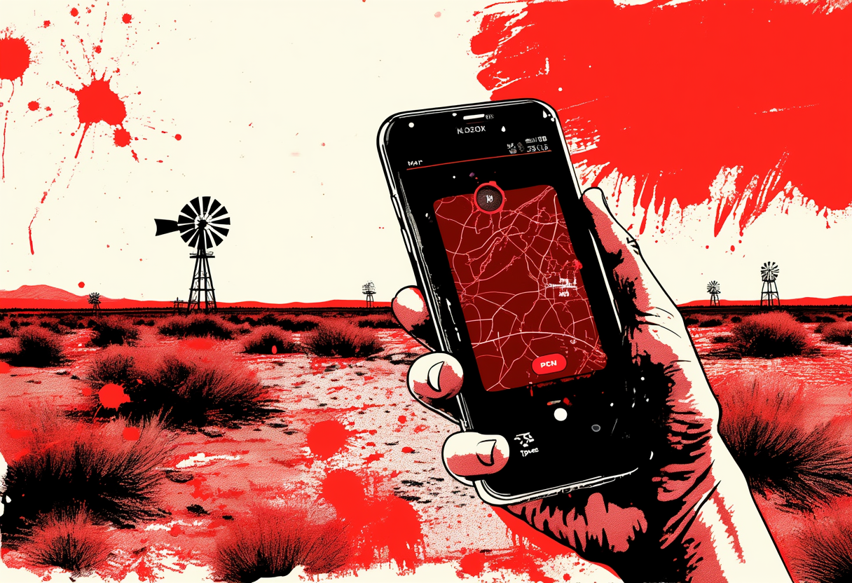
The replacement is a machine-learning model that recommends where to drill. Several startups are shipping them, and the pitch is the same on every deck, a plot of ground in and a depth and a probability of yield out. Under the hood the model is trained on state well records, driller logs, USGS aquifer surfaces, satellite soil moisture and vegetation series, and — where the seller can get it — the local drilling company's own hit history. The strong signals are basin, formation, elevation, and the record of prior wells within about two miles. Where a lot of wells have been drilled and reported, the model is confident.
Cauble reads the fescue. The model reads the basin's drilling history. Neither one of them is looking at next year's water.
In an aquifer that is being drawn down at a foot and change a year, the training data that make the model confident come out of the townships that have been pumped the hardest, because that is where the reported wells are. The confidence is highest exactly where the water it was trained to find is going away. There is no field in the schema for "recharge minus withdrawal since we started measuring." There is a field for "wells like this one, historically, worked."
I asked one of the vendors what horizon they were predicting on. He said the model was calibrated against the last twenty years of well outcomes. That is Betz's raw data on a bigger stage. The rod dropped over the fescue because the fescue was greener. The model recommends the section because the section drilled well in 2011.
The person who pays is the smallholder in La Paz County who spends nine thousand dollars on a two-hundred-fifty-foot well the model rated at eighty-percent likely, on the strength of a training set that closed before the aquifer under him fell forty feet. He gets a dry hole and a confidence interval.
Cauble missed twice in a hundred and forty walks. He knew both misses by name.
Editor's note. Category: wrong arrow. Filed to the Almanac desk. Dale Cauble is a narrative composite drawn from Almanac desk field visits and adjuster casework, condensed for the shape of the piece. The La Paz County smallholder is a composite in the same way. The Munich experiments and the Enright reanalysis, the NGWA and USGS positions, and the Abdelmohsen groundwater-loss numbers are as cited. Vendor conversations about well-siting models are on background and not attributed to a specific company; the training-data description matches what several of them publish about their pipelines.